1Create your free account
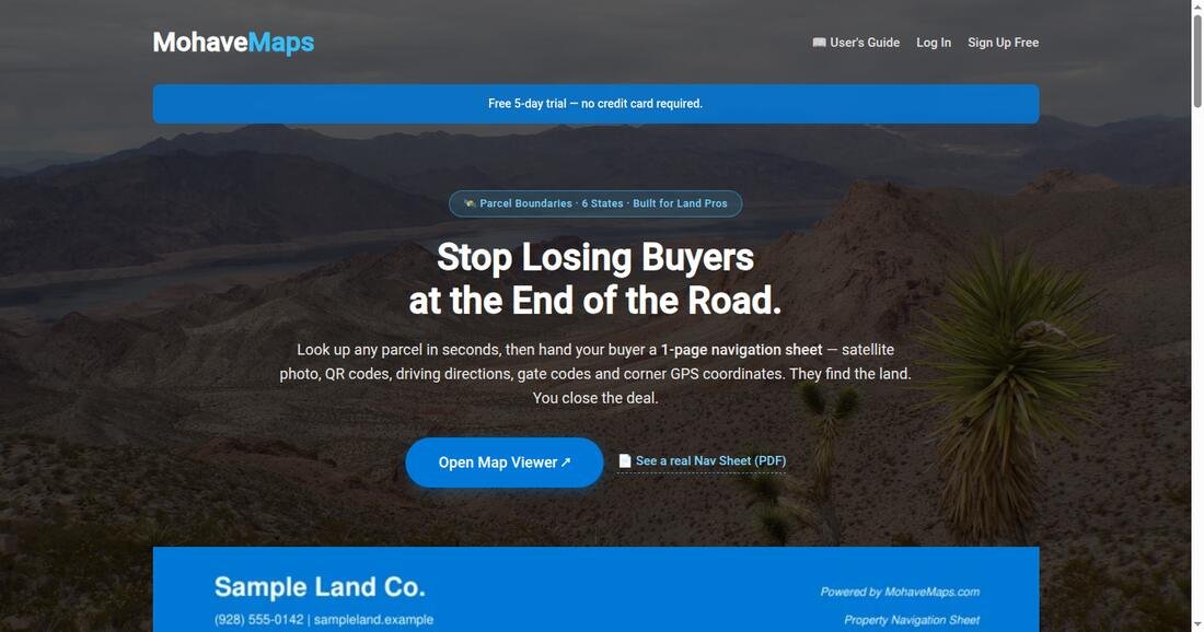
- Click Sign Up Free on the home page.
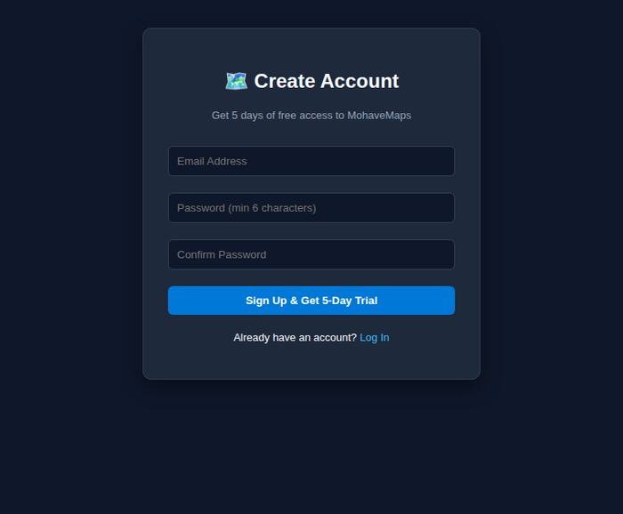
- Type an email address and a password (6+ characters). That's it — no credit card.
- Confirm the verification email, and your 5-day free trial starts immediately. The countdown is always shown in the banner at the top of the map.
2Find a parcel
- Open the Map Viewer from the home page.
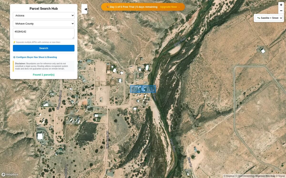
- Pick your state and county in the two drop-downs at the top of the search panel.
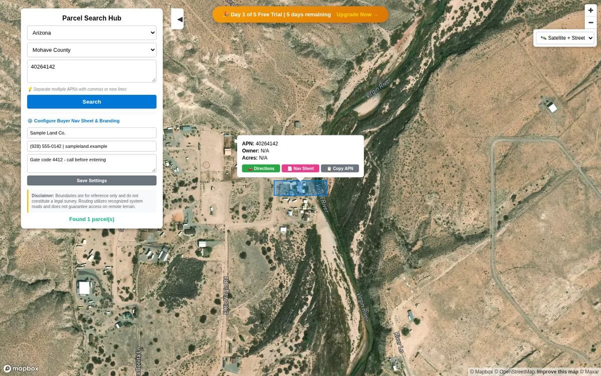
- Type the parcel's APN (assessor's parcel number) into the box and press Search. The parcel is drawn on the satellite map in blue.
- Need several at once? Paste a whole list — separate them with commas or new lines and every parcel appears in one search.
3Read the map & the parcel popup
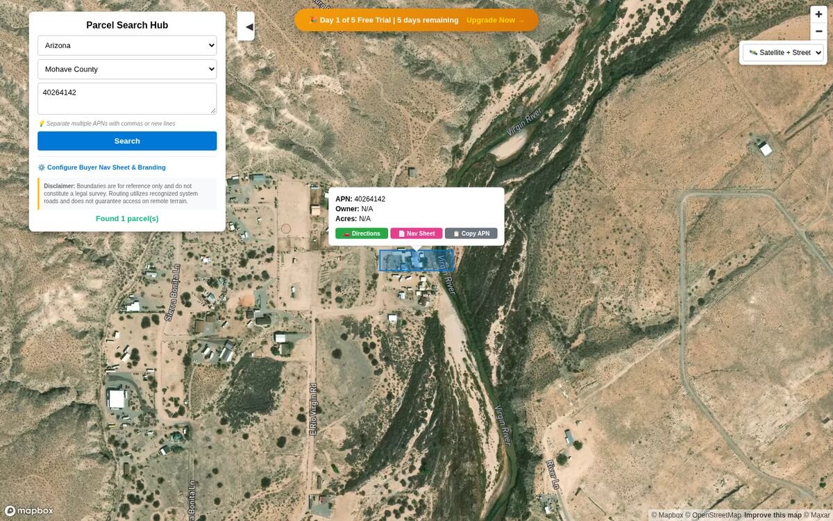
Click the blue parcel (or its pin) and a popup opens with everything important:
| Button / field | What it does |
|---|---|
| APN · Owner · Acres | The parcel's record details from county GIS data. |
| 🚗 Directions green | Opens Google Maps with driving directions to the center of the parcel — on your phone this is your buyer's trip. |
| 📄 Nav Sheet pink | Generates the one-page Buyer Navigation Sheet PDF (step 5). |
| 📋 Copy APN | Copies the parcel number so you can paste it into county records or your own notes. |
4Set up your branding (one minute, pays for itself)
Before you generate sheets, click ⚙️ Configure Buyer Nav Sheet & Branding in the search panel and fill in the three boxes:
- Company / Agent Name — printed in the header of every sheet.
- Phone, Email, or Website — right under your name, so buyers know who to call.
- Landmark Directions / Gate Codes — "Gate code 4412 — call before entering", "brown fence, take the left fork" — whatever gets your buyer to the gate.
5The Buyer Nav Sheet — your finished product
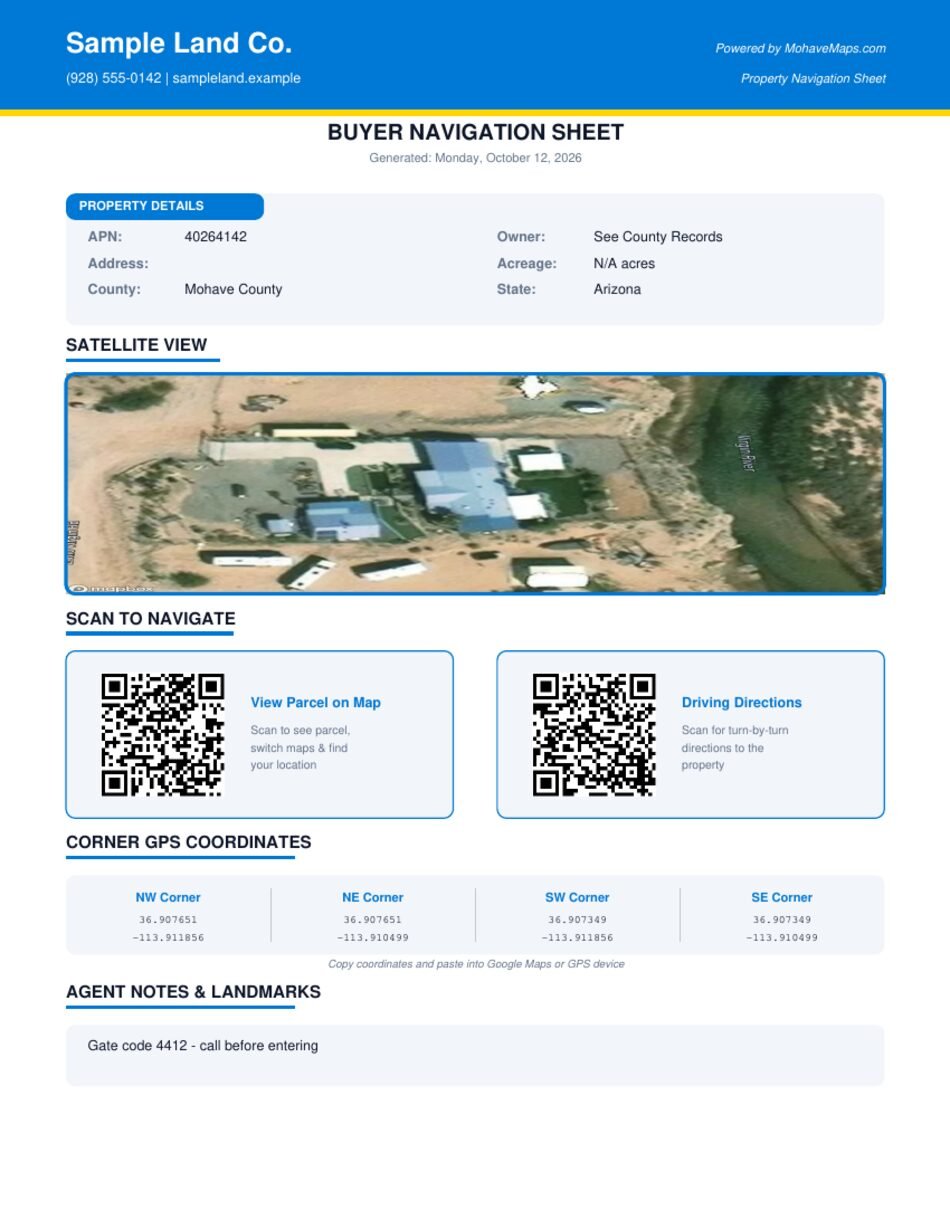
Open any parcel's popup and click 📄 Nav Sheet. A moment later a one-page PDF downloads — ready to email, text or print for your buyer:
| On the sheet | Why it matters |
|---|---|
| Your header | Your name and contact on every page — it looks professional and brings calls back to you. |
| Property details | APN, owner, acreage, county — so the buyer knows exactly which parcel this is. |
| Satellite view | The parcel photographed from above, clickable to the live map. |
| Two QR codes | One opens the parcel in the map viewer (so the buyer can find themselves), one starts turn-by-turn driving directions. Buyers just point their phone camera at the paper. |
| Corner GPS coordinates | All four corners in latitude/longitude — paste into Google Maps or any GPS unit to walk the boundary on site. |
| Your notes | The landmark directions and gate codes you set up in step 4. |
6Handy extras
- 🕐 Recent searches — click inside the APN box and your last searches appear; one click runs one again.
- 📏 Measure distances — click two points on the map to measure across a lot or along a road.
- 🗺️ Batch KML — after a multi-parcel search, download the whole set as a KML for Google Earth.
- 📱 It works on phones — the map, directions and QR codes are built for showing buyers on the spot.
- 🗺️ Six states — Arizona, Colorado, Florida, New Mexico, North Carolina and Texas today; more arrive on request (there's a link on the home page).
7Common questions
How accurate are the boundaries and coordinates?
They're reference estimates from public county GIS data — accurate enough to find, visit and evaluate land, but not a legal survey. Every map and sheet says so. For legal corners, hire a licensed surveyor.
Do I need a credit card for the trial?
No. Five days, full access, nothing to enter. Subscribe only if it earned its keep.
What does it cost after the trial?
$12 per month, or $115 per year (two months free). Only need it once? A $5 one-day pass covers you for 24 hours. Cancel any time from your account page.
Does my buyer need an account to use the QR codes?
No — the QR codes open the public parcel view and Google Maps directions, free for anyone with a phone.
My county isn't listed. Can it be added?
Yes — use the "Request it here" link on the home page and tell us the state and county.
Where do I manage my subscription?
Log in and open My Account in the top-right corner — plan, receipts and cancellation live there.